Current:
> News
> News
> On-orbit tests of 1-meter C-SAR 01 and 02 satellites were successfully completed
On-orbit tests of 1-meter C-SAR 01 and 02 satellites were successfully completed
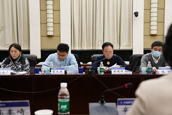
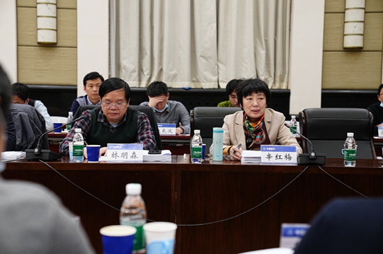
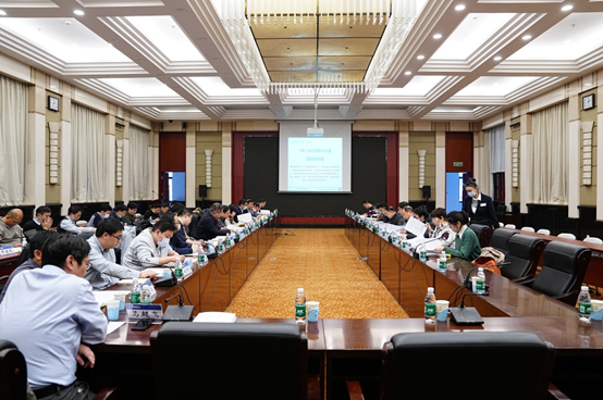
Recently, the Science and Technology Department of the Ministry of Natural Resources organized the on-orbit test evaluation meeting of 1-meter C-SAR 01 and 02 in Beijing. The experts unanimously agreed to pass the evaluation, marking the successful completion of the on-orbit test work of 1-meter C-SAR 01 and 02, which have the conditions for on-orbit delivery and operational use.
The 1-meter C-SAR 01 and 02 satellites were successfully launched on November 23, 2021 and April 7, 2022, respectively. Compared with the GF-3 satellite, they have improved image quality, detection efficiency and quantitative application. After the networking of these three satellites was completed, the revisit time is greatly shortened. They can provide quantitative remote sensing data with high timeliness, stability and meet the operational application for multifactor observation, including marine environment monitoring, maritime target monitoring, emergency monitoring of natural disaster and production safety accident, land use, surface water and so on.
After entering
the orbit, with the full cooperation of all systems of the project and
participating units, on-orbit testing was carried out in an orderly manner.
During this period, the inconvenience caused by the endemic was overcome, and
all the requirements of the outline and rules of on-orbit testing of the
satellite platform, payload system, ground system and application system were
completed. The test results show that 1-meter C-SAR satellites 01 and 02 are in
good running condition, and the quality of 1-2 level data products is stable,
which apply to the business of main users in marine, emergency management, territory,
geology, eco-environmental protection, water conservancy, agriculture,
meteorology and navy.
In the future on-orbit
operations, satellite data resources will be further utilized to serve the
management of natural resources and the building of a maritime power, the
potential of data application will be further tapped, the quantification level
of products will be improved, and the cooperation between the ministry and the
province will be strengthened to do a good job in the application and promotion
of satellite remote sensing technology, so as to make better use of satellite
applications.
